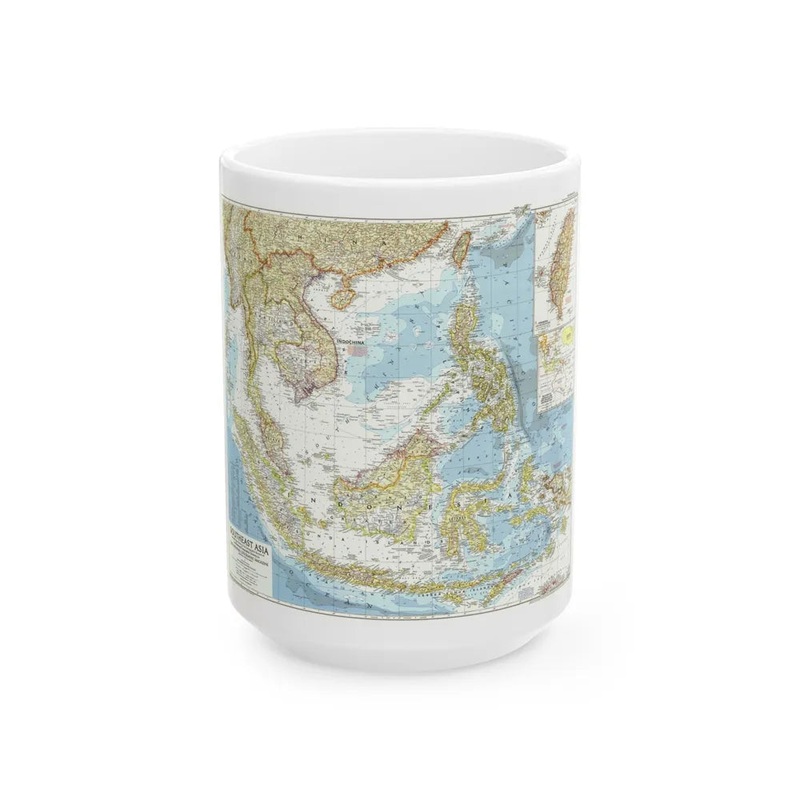
"Asia - Southeast (1955) (Map)"This map depicts Southeast Asia during 1955, a period marked by significant political and geographical changes in the region. The map covers countries like Indonesia, Malaysia, Singapore, Thailand, Vietnam, Laos, Cambodia, Myanmar, Philippines, Brunei Darussalam, and East Timor (then under Portuguese rule). It serves as an historical record of the regional boundaries and political entities present at that time, providing valuable insights into the geopolitical landscape of Southeast Asia in the mid-20th century. The map does not include modern administrative adjustments or boundary changes that have occurred since 1955.
Express delivery and return policies
Free shipping on orders over $30
Processing time: 1-2 Days
Shipping time: 3-5 Days(According to the logistics method and delivery address)
Items can be returned or exchanged within 30 days !